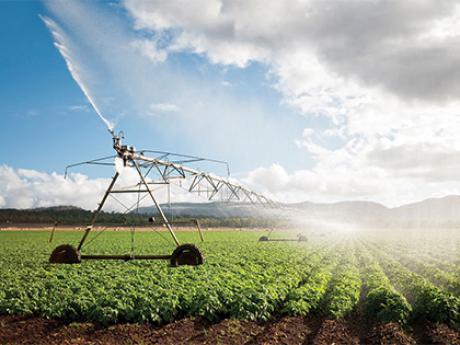
Geographical information systems, or GIS, focuses on improving existing technologies as well as developing new ones in order to collect, analyze, distribute, interpret, transform and visualize data about the surface of the earth and its geography. A good knowledge of informatics is required in order to succeed in programmes in geographical information systems. Specialized computer software is used to display detailed data about the earth’s surface. Geographical information systems degrees gather elements from other disciplines like geography, computer sciences, earth sciences, physics and sustainable development.

